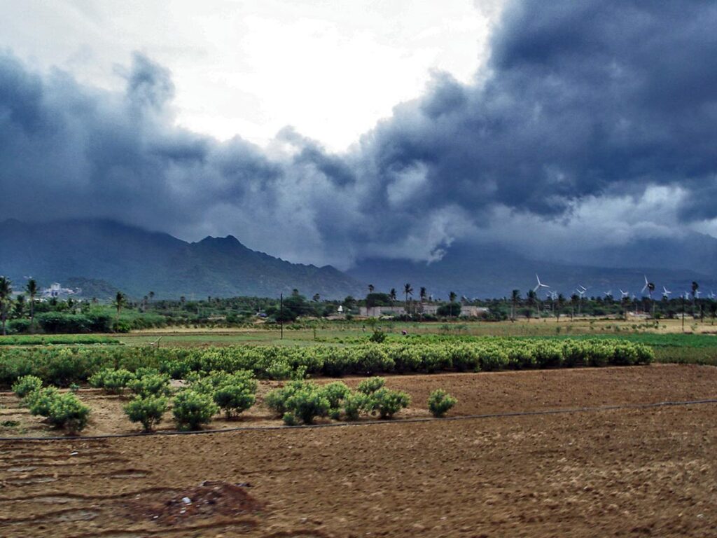
According to the India Meteorological Department, the monsoon will likely advance into the remaining parts of the south Arabian Sea, some parts of the central Arabian Sea, and the remaining parts of Kerala and Lakshadweep by Saturday (IMD).
Today and tomorrow, it is expected to cover more of Tamil Nadu and Puducherry, some of coastal and south interior Karnataka, Rayalaseema, and some of the south and central Bay of Bengal.
The monsoon arrived over Kerala on Thursday, two days later than usual. Because of the strengthening of lower level southwesterly winds, widespread rainfall activity over northeastern states is very likely over the next five days. Isolated heavy rain is expected in Arunachal Pradesh from June 4 to 6, Assam and Meghalaya from June 3 to 7, and Nagaland, Manipur, Mizoram, and Tripura on June 5 and 6.
The western Himalayan region is being affected by a new western disturbance in the form of a trough. During the next 2-3 days, scattered rainfall with thunderstorms, lightning, and gusty winds is very likely over parts of the western Himalayan region and the adjoining plains of northwest India.
Under the influence of a trough (area of low pressure) at mean sea level off the coasts of Karnataka and Kerala, as well as a strengthening of westerly winds in lower tropospheric levels, scattered to widespread rainfall, thunderstorms, lightning, and gusty winds are possible. Isolated heavy rain is also possible over Kerala and Karnataka over the next three days.


